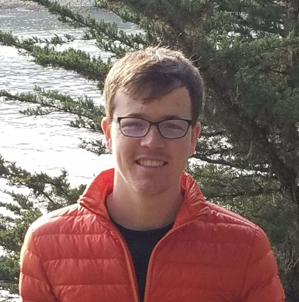
Ryan is from California and is currently doing his PhD in the WAVES Lab at UC Santa Barbara on a collaborative project with SCI-CLAWPS, funded by SERDP (DoD). Prior to UCSB, Ryan graduated from UC Berkeley in 2016 and then served as a Geoinformatics Fellow with the NASA DEVELOP program. He advised applied remote sensing projects and helped develop a time series of forest disturbance maps for Glacier National Park and a python program to model regional light pollution for the Natural Sounds and Night Skies division of the National Park Service.
His research interests include modeling of hydrologic processes, remote sensing of land cover/land use change, and the applications of machine learning in the geographic sciences. Ryan is currently applying these methodologies as a National Geographic Explorer to model field scale water use across the various drylands in order to examine the sustainability of intensive agriculture in groundwater dependent systems, as well as the impact of this water use on water availability in ecosystems. He is also a GSR with the Mapping Africa project, where he works on applying computer vision, machine learning, and cloud computing techniques to map smallholder agriculture across Ghana. When not at a computer, you can usually find him rock climbing, trail running, or getting a sunburn.
He also serves as an instructor for Software Carpentry.

